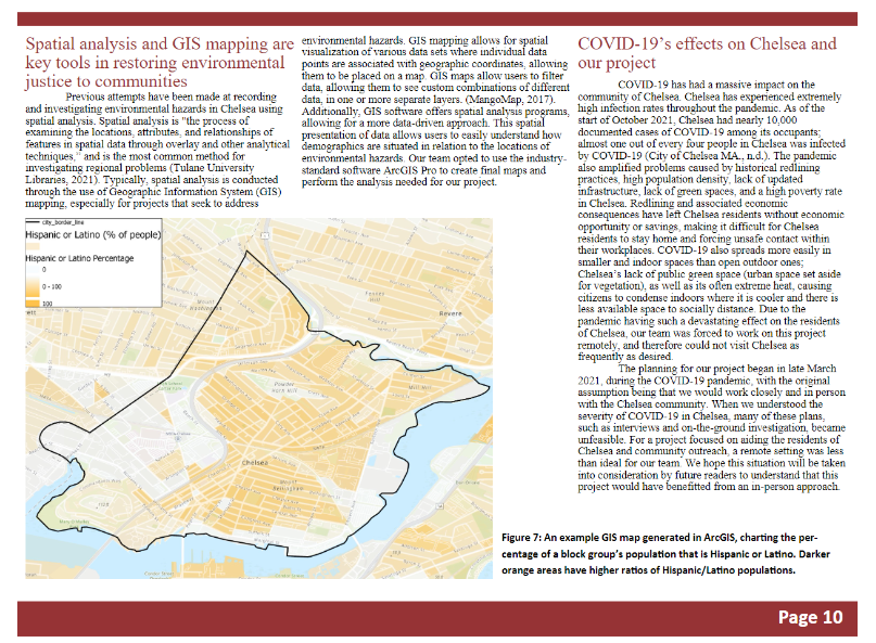


Sponsored by the City of Chelsea's Department of Housing & Community Development, our team created digital maps, a report, and massive pack of federal mapped data to help identify communities in the city vulnerable to environmental hazards such as high heat and air pollution.
Included on this portfolio as an example of data preparation, adaptability, and interdisciplinary collaboration.
Roles: Data preparation, Author
Languages: SQL
Tools: ArcGIS Pro, Microsoft Office, Google Workspace
Team size: 4
Development time: ~7 weeks preparation, ~7 weeks execution
Developed: 2021
For this project, we were a team working outside of our areas of expertise, delivering a product meant to help experts. As a result, we asked a lot of questions and delivered files that our project stakeholders could re-analyze themselves. In our report, we acknowledged our limits as a student team, deferring to the opinions of experts in community planning.
Keeping in frequent contact with project stakeholders allowed our team to ensure that, on tight deadlines, we would deliver something of genuine worth at the end of the project without having to re-do too much work as we went. For a project that involved parsing so much data, this was a must.
Download the report here
View the published report online here
Learn more about Interactive Qualifying Projects